Information about Samos Walking and Cycling paths
In order to understand Samos maps and footpaths you will need to know more about the island geography. Samos is a Greek island in the eastern Aegean Sea. In fact it is situated south of Chios, north of Patmos and off the coast of western Turkey by only 1.6 kilometer. The island is also a separate regional unit of the North Aegean region called municipality of Samos.
In ancient times, Samos was an especially rich and powerful city state, particularly known for its vineyards and wine production. It is home to Kokkari and Pythagoreion and the Heraion of Samos, a UNESCO World Heritage Site that includes the Eupalinian aqueduct, a marvel of ancient engineering.
Samos is the birthplace of the Greek philosopher and mathematician Pythagoras, after whom the Pythagorean theorem is named. Samos is also the birthplace of other philosophers such as Melissus of Samos and Epicurus. Lets not forget astronomer Aristarchus the first known individual to propose that the Earth revolves around the sun.
Geography of Samos
More information about the Island of Samos. The area of the island is 477.395 km2 and it is 43 km long and 13 km wide. Furthermore Samos is largely mountainous dominated by two large mountains, Karvounis and Kerketeus.
Besides the relief the island, it has four relatively large and fertile plains. The most important plains are: Vathy or Samos town – in the northeast, that of Karlovasi in the northwest, Pythagoreion in the southeast, and Marathokampos in the southwest.
Equally important is the fact that a great portion of the island is covered with vineyards. Vineyards from which the famous muscat wine is made.
The island’s population is 33,814, which is the 9th most populous of the Greek islands. The Samian climate is typically Mediterranean, with mild rainy winters, and warm rainless summers.
Samos has a fairly developed transport infrastructure. Roads in Samos are average. At the same time, the quality of pavement is constantly improving. Many of the routes marked on the map as ground, have long been covered with a solid layer of asphalt. There is 1 airport on the island, most of which are international and domestic flights.
Sea communication is also well-developed. Some believe that water transport in Greece is excellent. A number of ferries and ships run from the island to the mainland Piraeus around the clock.
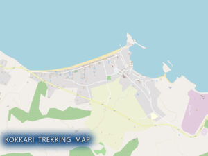
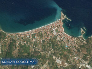
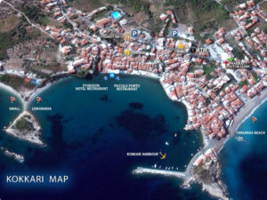
You will find detailed hi-res topographic maps of Kokkari on our app (coming soon 2022).
Walking maps
Cycling paths
Bird Watching spots


